DISCLOSURE:
When you click on links to various merchants on this site and make a purchase, this can result in this site earning a commission at no extra cost to you. Affiliate programs and affiliations include, but are not limited to, the eBay Partner Network, Amazon and Alibris.
Consider how hard it is to change yourself and you'll understand what little chance you have in trying to change others.
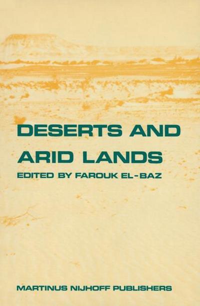
ISBN10: 9400960824, ISBN13: 9789400960824, [publisher: Springer Netherlands] Softcover Druck auf Anfrage Neuware - Printed after ordering - Remote sensing is the study of a region from a distance, particularly from an airplane or a spacecraft. It is a tool that can be used in conjunction with other methods of research and investigation. This tool is especially applicable to the study of the deserts and arid lands of the Earth because of their immense size and their inaccessibility to detailed study by conventional means. In this book examples are given of the utility of aerial photographs and space images in the study of semi-arid, arid, and hyper-arid terrains. Emphasis is placed on the physical features and terrain types using examples from around the world. The authors I have called upon to prepare each chapter are renowned specialists whose contributions have received international recognition. To the general reader, this book is a review of our knowledge of the relatively dry parts of the Earth, their classification and varied features, their evolution in space and time, and their development potentials. To the specialist, it is a detailed account of the deserts and arid lands, not only in North America, but also their relatively unknown counterparts in North Africa, Australia, China, India, and Arabia. [Einbeck, Germany] [Publication Year: 2011] ...
ISBN10: 9400960824, ISBN13: 9789400960824, [publisher: Springer Netherlands] Softcover Druck auf Anfrage Neuware - Printed after ordering - Remote sensing is the study of a region from a distance, particularly from an airplane or a spacecraft. It is a tool that can be used in conjunction with other methods of research and investigation. This tool is especially applicable to the study of the deserts and arid lands of the Earth because of their immense size and their inaccessibility to detailed study by conventional means. In this book examples are given of the utility of aerial photographs and space images in the study of semi-arid, arid, and hyper-arid terrains. Emphasis is placed on the physical features and terrain types using examples from around the world. The authors I have called upon to prepare each chapter are renowned specialists whose contributions have received international recognition. To the general reader, this book is a review of our knowledge of the relatively dry parts of the Earth, their classification and varied features, their evolution in space and time, and their development potentials. To the specialist, it is a detailed account of the deserts and arid lands, not only in North America, but also their relatively unknown counterparts in North Africa, Australia, China, India, and Arabia. [Einbeck, Germany] [Publication Year: 2011] ...
DISCLOSURE:
When you click on links to various merchants on this site and make a purchase, this can result in this site earning a commission at no extra cost to you. Affiliate programs and affiliations include, but are not limited to, the eBay Partner Network, Amazon and Alibris.